
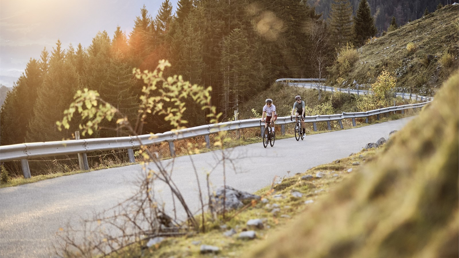
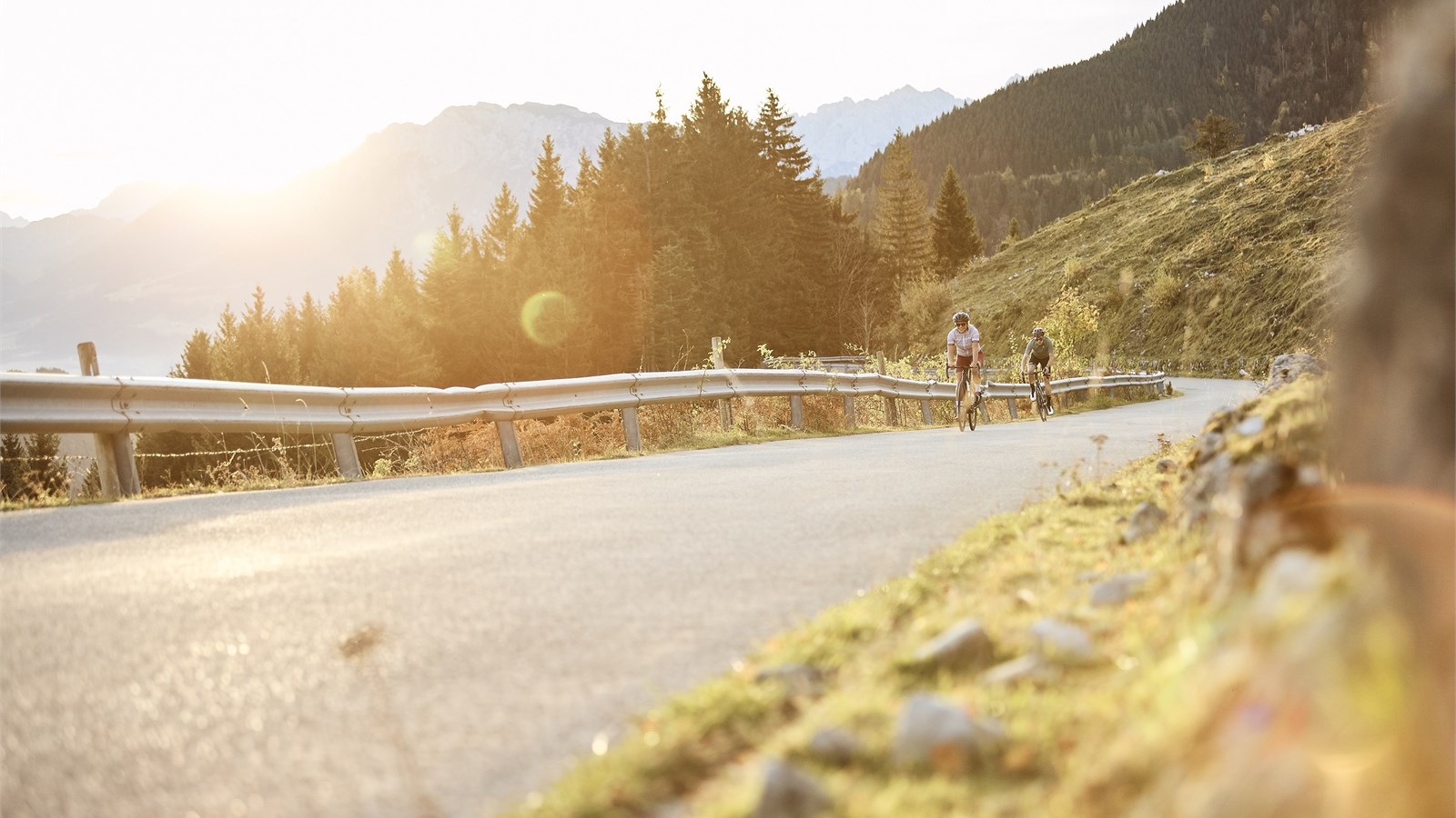
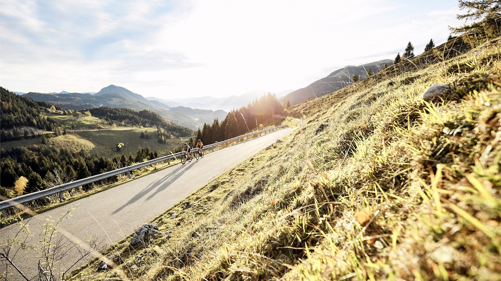
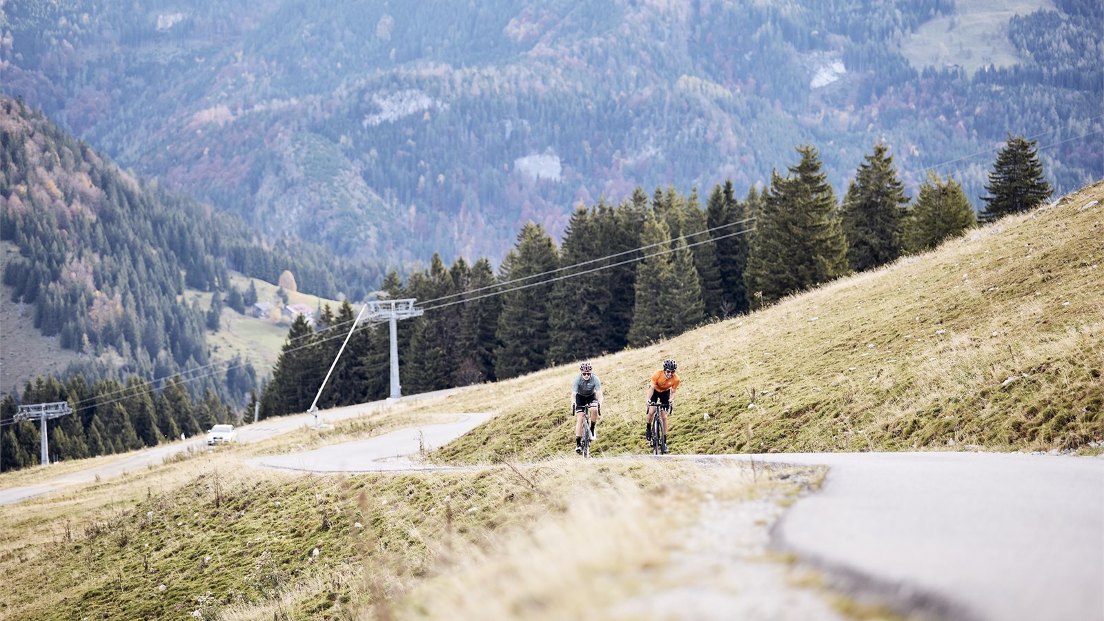
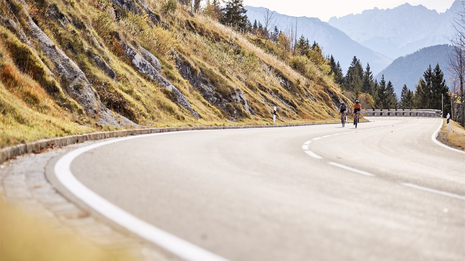
Road / Mountain road at Sudelfeld
At an altitude of between 850 and 1563m, the Sudelfeld skiing and hiking area is located an hour south of Munich on the border with Tyrol. It can be reached via Bayrischzell, Brannenburg and Oberaudorf. A federal road (B307) and several smaller roads in the alpine area stretch over the lower Sudelfeld, embedded in an idyllic alpine landscape between Wendelstein and Brünnstein and with views in the direction of the Wilder Kaiser, Chiemgau mountains, Chiemsee and out into the lowlands towards Munich.

© © Urs Golling / Alpenregion Tegernsee Schliersee
© © Urs Golling / Alpenregion Tegernsee Schliersee
© © Urs Golling / Alpenregion Tegernsee Schliersee
© © Urs Golling / Alpenregion Tegernsee Schliersee
© © Urs Golling / Alpenregion Tegernsee Schliersee
© © Urs Golling / Alpenregion Tegernsee Schliersee
© © Urs Golling / Alpenregion Tegernsee Schliersee
© © Urs Golling / Alpenregion Tegernsee Schliersee
© © Urs Golling / Alpenregion Tegernsee Schliersee
© © Urs Golling / Alpenregion Tegernsee Schliersee
© © Urs Golling / Alpenregion Tegernsee Schliersee
© © Urs Golling / Alpenregion Tegernsee Schliersee
Technical information
Capacity / Logistics
Power supply
Condition
Contact
Alpenregion Tegernsee Schliersee Kommunalunternehmen
Herr Lukas Hanrieder
Rathausplatz. 2
83714 Miesbach
Address
Road / Mountain road at Sudelfeld
Sudelfeld
Bayrischzell